
November 9-12, 2026 in Leipzig
ELLIS Unit Jena members at the Helmholtz Imaging Conference 2026!
Four days. One community. Endless possibilities in imaging.
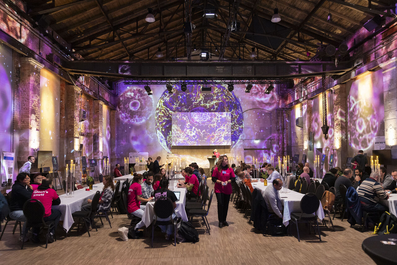
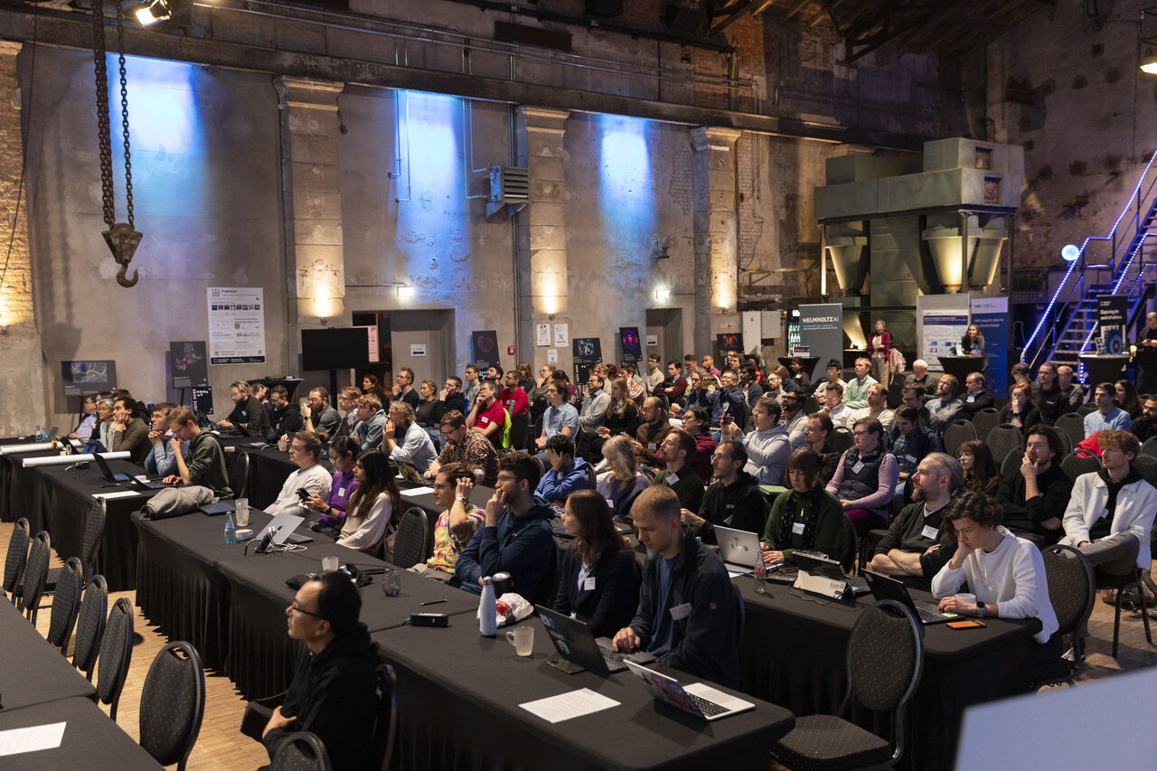
From November 9–12, Helmholtz Imaging Week 2026 brought together the Helmholtz imaging community in Leipzig for an inspiring week of scientific exchange, innovation, and interdisciplinary collaboration. At the heart of the week was the Helmholtz Imaging Conference 2026, providing a platform for researchers from diverse scientific fields to present their work, exchange ideas, and explore new perspectives on imaging and its applications. Complementing the conference, the Imaging Deep Dive Day offered interactive, participant-led workshops, creating opportunities to explore selected topics in greater depth and foster direct scientific exchange.
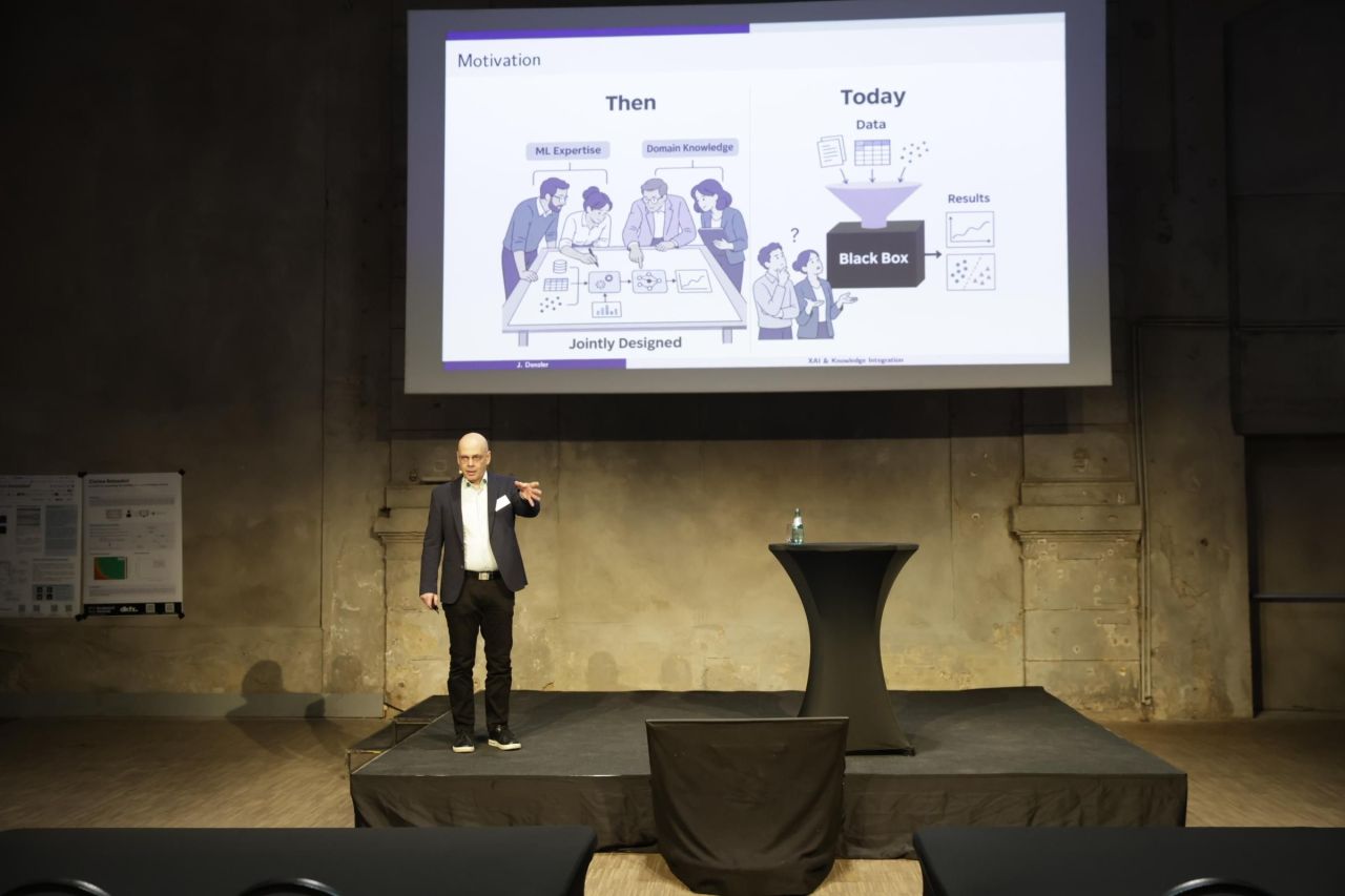
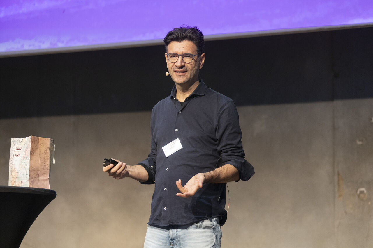
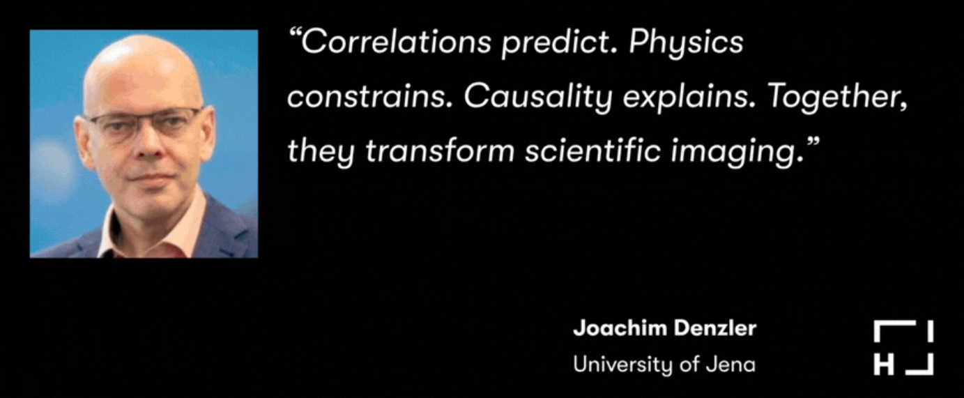
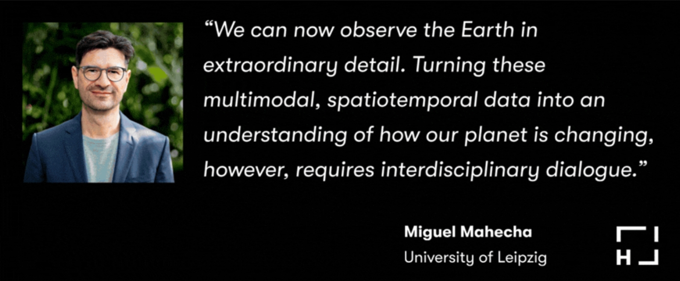
We were delighted to see ELLIS Fellow Prof. Dr. Joachim Denzler (ELLIS Unit Jena Director, Friedrich Schiller University Jena) and ELLIS Fellow Prof. Dr. Miguel D. Mahecha (Associated Member ELLIS Unit Jena, Leipzig University) contribute to this year’s Helmholtz Imaging Conference 2026 in Leipzig with two inspiring keynote talks.
𝗝𝗼𝗮𝗰𝗵𝗶𝗺 𝗗𝗲𝗻𝘇𝗹𝗲𝗿 – “𝗞𝗻𝗼𝘄𝗹𝗲𝗱𝗴𝗲 𝗜𝗻𝘁𝗲𝗴𝗿𝗮𝘁𝗶𝗼𝗻 𝗶𝗻 𝗠𝗮𝗰𝗵𝗶𝗻𝗲 𝗟𝗲𝗮𝗿𝗻𝗶𝗻𝗴: 𝗙𝗿𝗼𝗺 𝗗𝗼𝗺𝗮𝗶𝗻 𝗮𝗻𝗱 𝗣𝗵𝘆𝘀𝗶𝗰𝗮𝗹 𝗣𝗿𝗶𝗼𝗿𝘀 𝘁𝗼 𝗖𝗮𝘂𝘀𝗮𝗹 𝗘𝘅𝗽𝗹𝗮𝗻𝗮𝘁𝗶𝗼𝗻𝘀”
Machine learning can identify patterns in complex scientific data, but its predictions may depend on shortcuts, biases, or correlations that fail outside the training setting. This talk explores how established knowledge can guide learning and make model behavior easier to understand. First, it shows how expert class hierarchies can shape image embeddings so that visual retrieval reflects semantic relationships. It then examines physics-informed methods for recovering Raman spectra from coherent anti-Stokes Raman scattering measurements, using known spectral relationships to reduce dependence on labeled data. Finally, the presentation introduces causal reasoning as a way to examine what models rely on, how they respond to interventions, and what changes might alter an individual prediction. Together, these cases show how domain, physical, and causal knowledge can support more robust and interpretable AI for scientific applications.
𝗠𝗶𝗴𝘂𝗲𝗹 𝗠𝗮𝗵𝗲𝗰𝗵𝗮 – “𝗙𝗿𝗼𝗺 𝗣𝗶𝘅𝗲𝗹𝘀 𝘁𝗼 𝗣𝗹𝗮𝗻𝗲𝘁𝗮𝗿𝘆 𝗗𝘆𝗻𝗮𝗺𝗶𝗰𝘀: 𝗧𝘂𝗿𝗻𝗶𝗻𝗴 𝗘𝗮𝗿𝘁𝗵 𝗜𝗺𝗮𝗴𝗲𝘀 𝗶𝗻𝘁𝗼 𝗞𝗻𝗼𝘄𝗹𝗲𝗱𝗴𝗲 𝗮𝗯𝗼𝘂𝘁 𝗼𝘂𝗿 𝗖𝗵𝗮𝗻𝗴𝗶𝗻𝗴 𝗕𝗶𝗼𝘀𝗽𝗵𝗲𝗿𝗲”
The Earth is experiencing extraordinary transformations at an unprecedented pace. We can observe many of these changes from above, using drones and satellites. The resulting images of the Earth’s surface have become a primary tool for monitoring change, allowing us to observe the terrestrial biosphere at extraordinary spatial and temporal detail. However, the challenge is not only to detect objects and describe states, but to understand the dynamic processes they represent. In our research, we move from detecting, for example, tree mortality in centimetre-scale drone imagery to analysing forest health dynamics across space and time using dense satellite time series. This requires moving beyond individual images towards large spatio-temporal and multivariate Earth System Data Cubes. Deep learning and interactive visualisation can reveal structures and trajectories within these high-dimensional observations and increasingly allow us to infer changes in ecosystem state at large scales. I will illustrate this progression from objects to dynamics and finally to planetary-scale patterns with the global green wave, where decades of satellite observations can be condensed into an interpretable trajectory of the changing seasonal dynamics of the terrestrial biosphere.